SELF-HOSTED • BROWSER-BASED • SPAVY-VIEW
Free Your Spatial Data
Finally, a self-hosted alternative for spatial data: centralized storage, purpose-built viewer, unlimited project, users and data.

Stay Local
Deploy your own Spatial Data Platform.

Browser Access
Access and share with a link.

Built for Big Data
Massive data, Smooth experience.
Purpose-Built for Spatial Data
From Drone Operators to Surveyors, from First Responders to AEC — empowering every professional who works with the world in 3D.
SUPPORTED FILES
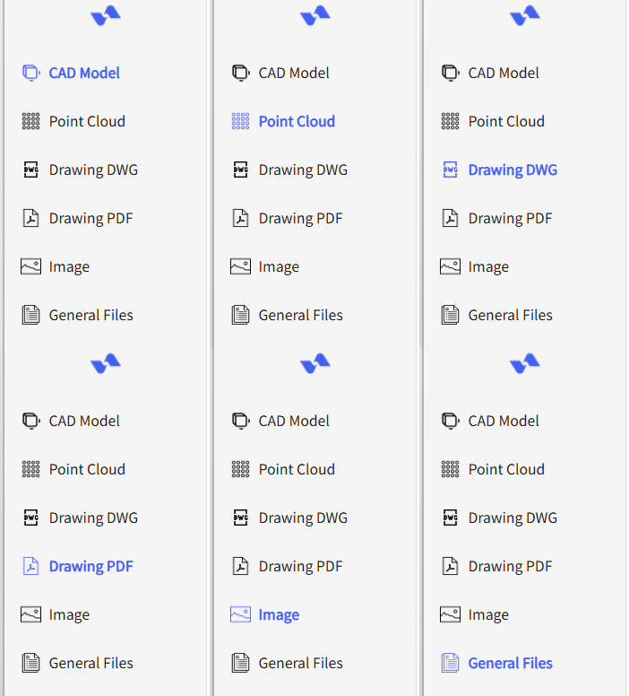
Sync 3D CAD, Point Clouds, and More
3D CAD/BIM (RVT, NWD, SKP, IFC), Point Clouds (LAZ, LAS, PTS, E57), DWG, Images (TIFF, JPG, PNG) and PDFs.
UNIFIED SPATIAL LAYERS
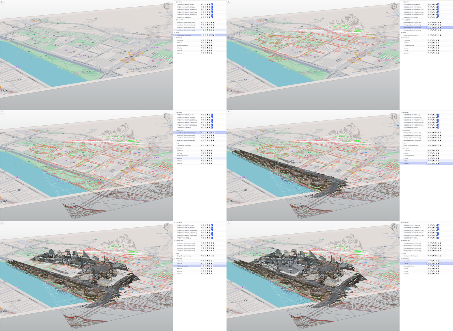
Meet Spavy Dock
The simplest way to manage and work with complex/federated Spatial Workspace
MULTIPLE VIEWERS
Create, Connect, and Sync Views
Create and arrange multiple views, sync cameras, and save reusable layouts.

SHAREABLE PACKAGES
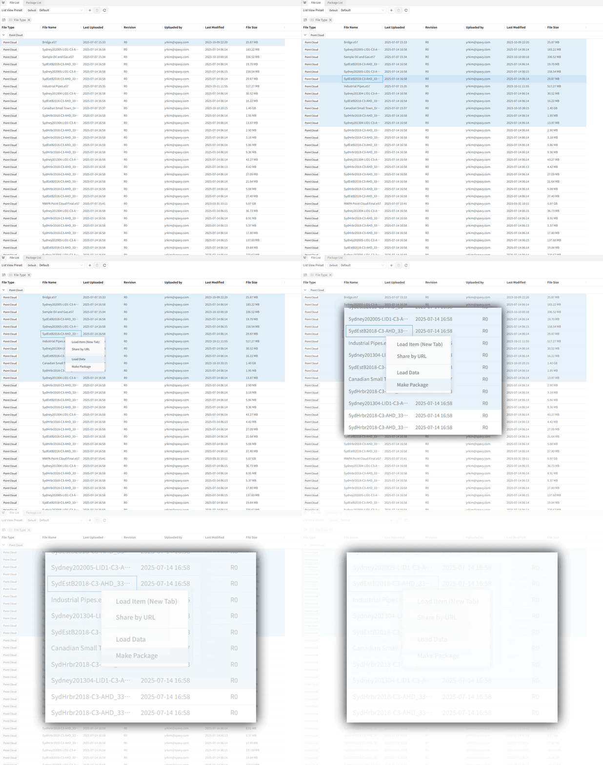
Select Files, Make Packages, and Share
Bundle specific files and context into a single, shareable link.
PROJECT-READY
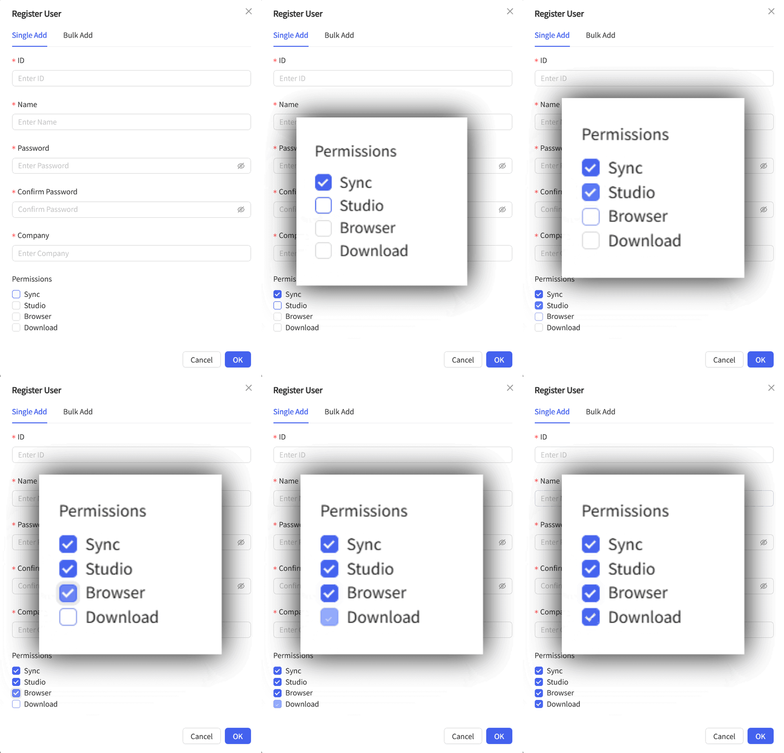
Project-Based Roles, User Management, and Download Control
Implement granular, project-based permissions.
